U.S. flag

An official website of the United States government

Here’s how you know

Dot gov

Official websites use .gov
A .gov website belongs to an official government organization in the United States.

HTTPS

Secure .gov websites use HTTPS
A lock (LockA locked padlock) or https:// means you’ve safely connected to the .gov website. Share sensitive information only on official, secure websites.

Emergency

This is not the current EPA website. To navigate to the current EPA website, please go to www.epa.gov. This website is historical material reflecting the EPA website as it existed on January 19, 2025. This website is no longer updated and links to external websites and some internal pages may not work. More information »

    • Environmental Topics
    • Air
    • Bed Bugs
    • Cancer
    • Chemicals, Toxics, and Pesticide
    • Climate Change
    • Emergency Response
    • Environmental Information by Location
    • Environmental Justice
    • Greener Living
    • Health
    • Land, Waste, and Cleanup
    • Lead
    • Mold
    • Radon
    • Research
    • Science Topics
    • Water Topics
    • A-Z Topic Index
    • Laws & Regulations
    • By Business Sector
    • By Topic
    • Compliance
    • Enforcement
    • Laws and Executive Orders
    • Regulations
    • Report a Violation
    • Environmental Violations
    • Fraud, Waste or Abuse
    • About EPA
    • Our Mission and What We Do
    • Headquarters Offices
    • Regional Offices
    • Labs and Research Centers
    • Planning, Budget, and Results
    • Organization Chart
    • EPA History
    • Staff Directory

Breadcrumb

  1. Home
  2. Water Data and Tools

NHDPlus Northern Mariana Islands Data (Vector Processing Unit 22m)
You may need additional software to view some of the links on this page. See EPA’s Free Viewers and Readers page.The links will vary in file size.
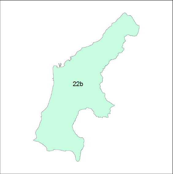
Map of Northern Mariana Island

NHDPlusV2 data is distributed by the major drainage areas of the United States. Within a Drainage Area, the NHDPlusV2 data components are packaged into compressed files either by Vector Processing Unit (VPU) or Raster Processing Unit (RPU). A Drainage Area is composed of one or more VPUs and a VPU is composed of one or more RPUs.

South Atlantic West
Drainage Area ID PI
VPU 22MP
RPUs 22b

The following links exit the site

NHDPlusV2 Distribution Filename Key

NHDPlusV2nn_<dd>_<VPUid>_componentname_<vv>
or
NHDPlusV2nn_<dd>_<VPUid>_<RPUid>_componentname_<vv>
where:

  • V2nn is Version (2) and subversion (nn) of the NHDPlusV2 data model
  • dd is the drainage area identifier
  • VPUid is the VPU identifier
  • RPUid is the RPU identifier
  • Componentname is the name of the NHDPlusV2 component contained in the file
  • vv is the data content version, 01, 02, ... for the component

Additional information about the NHDPlusV2 content and distribution format
can be found in the NHDPlusV2 User Guide (pdf) (5.31 MB, March 13, 2019, v2.1)


Water Data and Tools

  • Integrated Water Analysis
  • Ambient Water Quality
  • Community Financing
  • Water Restoration
  • Water Quality Models
Contact Us About Water Data and Tools
Contact Us About Water Data and Tools to ask a question, provide feedback, or report a problem.
Last updated on June 17, 2024
  • Assistance
  • Ayuda
  • Arabic
  • Chinese (simplified)
  • Chinese (traditional)
  • Aide
  • Asistans
  • Korean
  • Assistência
  • Russian
  • Tulong
  • Vietnamese
United States Environmental Protection Agency

Discover.

  • Accessibility Statement
  • Budget & Performance
  • Contracting
  • EPA www Web Snapshot
  • Grants
  • No FEAR Act Data
  • Plain Writing
  • Privacy
  • Privacy and Security Notice

Connect.

  • Data
  • Inspector General
  • Jobs
  • Newsroom
  • Regulations.gov
  • Subscribe
  • USA.gov
  • White House

Ask.

  • Contact EPA
  • EPA Disclaimers
  • Hotlines
  • FOIA Requests
  • Frequent Questions

Follow.